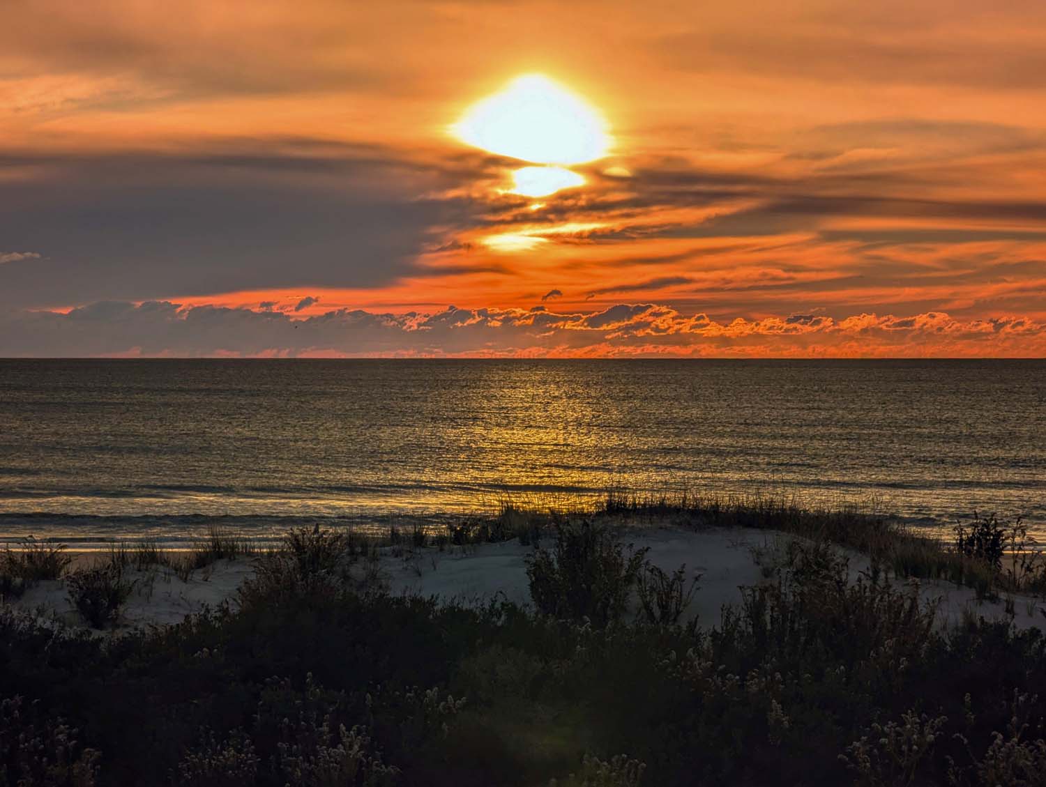

This guide covers 9 real fall foliage road trips across the Northeast, one standout drive per state, from New Hampshire’s Kancamagus Highway to Pennsylvania’s Grand Canyon.
Every route below includes mileage, when it typically peaks, and the specific overlooks and towns worth pulling over for, not just a state name and a vague promise of color.
Foliage timing shifts every year with weather, so treat the windows below as a reliable starting point and confirm with a state foliage tracker before you lock in dates. Northern New England (the tips of Maine, Vermont, and New Hampshire) typically turns first, in late September, with color working south and downhill through October before the lower Mid-Atlantic wraps up the season in late October and even into November.
Quick Answer: 9 Fall Foliage Road Trips by State
- Kancamagus Highway (New Hampshire): 34.5 miles through the White Mountains, no gas stations for the whole drive
- Vermont Route 100 (Vermont): 111 miles from Manchester to Stowe, the spine of the state
- Mohawk Trail (Massachusetts): Route 2 through the Berkshires, ending at a real hairpin turn
- Litchfield Hills (Connecticut): Route 7 through the town National Geographic and Yankee Magazine both single out
- Route 102 (Rhode Island): the state’s longest scenic drive, 44 miles of forest and farmland most visitors skip for the coast
- Park Loop Road (Maine): 27 miles around Acadia National Park, ocean and mountains in the same frame
- High Peaks Scenic Byway (New York): Route 73 through the Adirondacks’ tallest terrain
- PA Route 6 to the Grand Canyon (Pennsylvania): a 1,450-foot-deep gorge most people don’t know exists in PA
- NJ Skylands Drive (New Jersey): High Point to the Delaware Water Gap, the state’s highest ground
The list runs roughly north to south, so it doubles as a loose itinerary if you’re chasing color down the coast over a couple of weeks.
Kancamagus Highway
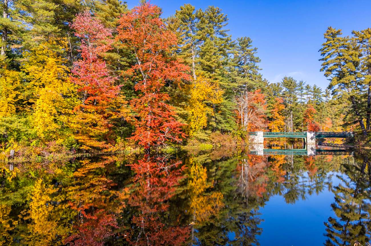
No gas stations, no billboards, and arguably the single most famous fall drive in the country.
The Kancamagus runs 34.5 miles through the White Mountain National Forest with zero commercial development along the entire route, which is exactly what makes it feel like driving through a postcard rather than a highway. Start in Lincoln and head east toward Conway, stopping at the Rocky Gorge Scenic Area for a short riverside walk, Sabbaday Falls for an easy waterfall hike, and the Hancock Overlook, one of the most photographed pull-offs in New England. There’s no cell service and no gas for the full stretch, so fill up before you start.
Vermont Route 100
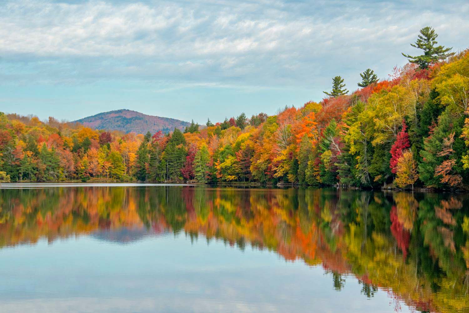
Locals call it the spine of Vermont, and it runs straight through the state’s postcard-perfect middle.
Route 100 tracks the length of Vermont past farmland, general stores, and roadside waterfalls, with color that builds as you head north. Notable stops include Moss Glen Falls, a tumbling waterfall visible right from a roadside pull-off, and the small town of Warren, where a short detour down Main Street leads to a covered bridge and the Warren Store, worth a stop for a sandwich and maple syrup. The drive ends in Stowe, where Route 108 continues into the 15-mile Smugglers’ Notch pass if you want to extend the day with one of Vermont’s most dramatic mountain roads.
Mohawk Trail
One of the oldest scenic roads in America, and it still ends in a genuine hairpin turn.
Route 2 through the Berkshires was one of the first roads in the country marketed specifically as a scenic drive, back in the early 1900s, and it’s held onto the reputation. Highlights include Poet’s Seat Tower overlooking the Connecticut River in Rocky Mountain Park, the Bridge of Flowers in Shelburne Falls, a former trolley bridge now planted with flowers, and the famous Hairpin Turn near the North Adams end, a sharp switchback with a pull-off view over the valley below.
Litchfield Hills
National Geographic called the region one of the most scenic driving destinations in the country. Yankee Magazine went further and picked one specific town.
Connecticut’s northwest corner is rolling hills, stone walls, and white-steepled town greens, the kind of New England scenery that shows up on calendars every October. Route 7 is the backbone of the drive, and Kent, one of the towns directly on it, was named the best fall foliage town in New England by Yankee Magazine. Beyond Kent, the region includes Kent Falls State Park for an easy waterfall hike and plenty of small-town greens worth a slow lap.
Route 102
Rhode Island’s longest scenic drive, and most visitors never leave the coast to find it.
While Newport’s Ocean Drive gets most of the attention, Route 102 is the state’s longest scenic drive at 44 miles, running from Wickford in South County north through Exeter and up to the village of Slatersville in North Smithfield, cutting through the rural, heavily wooded interior that holds Rhode Island’s best fall color. The highlight along the way is the Scituate Reservoir, worth a stop for the reflection of the surrounding hillside in the water, and the Audubon Society of Rhode Island’s George Parker Woodland Wildlife Refuge in Coventry, a quiet spot for a short hike through trees turning yellow along the creek.
Park Loop Road
The only drive on this list where fall foliage and the Atlantic Ocean share the same view.
This 27-mile loop starts at the Hulls Cove Visitor Center and circles the eastern half of Mount Desert Island, passing Sand Beach, Thunder Hole, and Otter Cliffs before climbing toward Cadillac Mountain, the highest point on the U.S. Atlantic coast. Much of the loop is one-way, so plan your route rather than expecting to backtrack. Entry requires a park pass, $35 per vehicle for 7 days as of 2026, and driving up Cadillac Summit Road specifically requires a separate $6 timed-entry reservation booked through Recreation.gov, required May 20 through October 25. Note that as of 2026, non-U.S. residents age 16 and older also pay an additional $100 entrance surcharge per person, on top of the standard vehicle fee.
High Peaks Scenic Byway
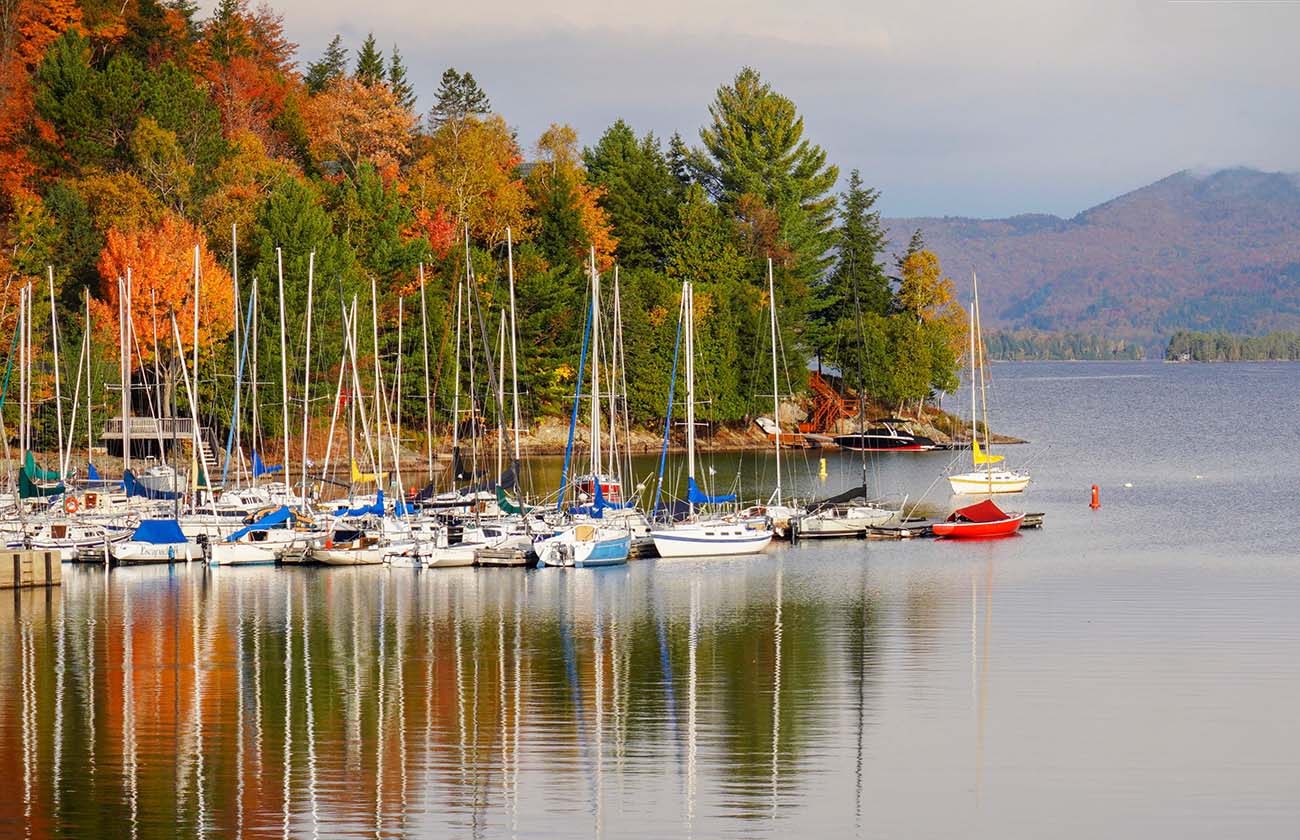
30 miles through the tallest terrain in New York, ending at a former Olympic host town.
Route 73 cuts through the heart of the Adirondack High Peaks region, with several of the state’s tallest mountains, all over 4,000 feet, visible from the road. Stops along the way include Chapel Pond, a quiet trailhead good for a short walk and wildlife watching, and the Cascade Mountain trailhead for a more serious hike if you have the time. The route ends in Lake Placid, site of the 1980 Winter Olympics, and connects easily to nearby Whiteface Mountain via Route 86 if you want to add a summit drive to the day.
PA Route 6 to the Grand Canyon
Named one of America’s most scenic drives by National Geographic, and it leads to a canyon most people don’t associate with Pennsylvania at all.

Route 6 stretches over 400 miles across northern Pennsylvania, but the standout stretch for foliage runs through the Pennsylvania Wilds toward Wellsboro and Pine Creek Gorge, nicknamed the “PA Grand Canyon.” At its deepest, the gorge drops 1,450 feet and stretches nearly a mile across, with Leonard Harrison State Park on the east rim and Colton Point State Park on the west rim offering the two best overlooks. Wellsboro itself is a genuinely charming small town worth a slow walk before or after.
NJ Skylands Drive
New Jersey’s highest ground, its most dramatic river gorge, and neither one looks like what people picture when they hear “New Jersey.”
Start at High Point State Park in Sussex County, home to the highest elevation in New Jersey at 1,803 feet, where the monument grounds offer views into three states on a clear day. From there, head south through Stokes State Forest along the Kittatinny Ridge before reaching the Delaware Water Gap National Recreation Area, over 70,000 acres straddling the NJ-PA border along the Delaware River. Old Mine Road, running through the park’s northern section between Millbrook Village and the Kittatinny Point Visitor Center, is the most scenic stretch and one of the oldest continuously used roads in the country.
Compare All 9 by Peak Timing
| Drive | State | Length | Typical Peak |
|---|---|---|---|
| High Peaks Scenic Byway | New York | ~30 mi | Late September |
| Vermont Route 100 | Vermont | ~111 mi | Late Sept–early Oct |
| Kancamagus Highway | New Hampshire | 34.5 mi | Early–mid October |
| Park Loop Road | Maine | 27 mi | Early–mid October |
| Mohawk Trail | Massachusetts | ~63 mi | Early–mid October |
| PA Route 6 / Grand Canyon | Pennsylvania | Varies | Early–mid October |
| Route 102 | Rhode Island | ~44 mi | Early–mid October |
| Litchfield Hills | Connecticut | Varies | Mid–late October |
| NJ Skylands Drive | New Jersey | Varies | Mid–late October |
Before You Go
Pairing any of these with a longer trip? Our guide to budget road trip tips and packing tips are worth a skim before you head out. If Pennsylvania is your home base, our list of day trips from Philadelphia for nature lovers covers more ground closer to home, and if you’re chasing color into New England, our East Coast towns for slow travel guide pairs well with a foliage trip through Connecticut and Massachusetts.
FAQ
When is the best time for a Northeast fall foliage road trip?
It depends entirely on where you’re going. Northern New England (the tips of Maine, Vermont, and New Hampshire) typically peaks in late September, the middle of the region peaks in early-to-mid October, and southern New England, New York’s lower elevations, Pennsylvania, and New Jersey generally peak mid-to-late October. Weather shifts this by a week or more in either direction, so check a live foliage tracker closer to your travel dates rather than relying on a fixed calendar date.
Which drive is best if I only have one day?
The Kancamagus Highway or Park Loop Road in Acadia are both compact enough to do comfortably in a single day with stops, and both are considered among the most scenic drives in the country in their own right, so you’re not sacrificing much by keeping it short.
Do any of these drives require an entrance fee?
Most are free public roads. The exception is Park Loop Road in Acadia National Park, which requires a park pass ($35 per vehicle, valid 7 days as of 2026, plus a separate $6 reservation fee if you’re driving up Cadillac Summit Road), and the Whiteface Veterans’ Memorial Highway near the Adirondacks route, a separate toll road up to the summit.
What’s the least crowded time to drive these routes during peak season?
Weekday mornings, consistently, across every route on this list. Saturdays in October can bring traffic on routes like the Kancamagus and Route 73 through the Adirondacks that rivals summer peak season, so an early start or a weekday drive makes a real difference.
Can I do more than one of these drives in a single trip?
Yes, especially if you follow the north-to-south order above. Vermont’s Route 100 and New Hampshire’s Kancamagus are close enough to combine into one multi-day loop, and the Litchfield Hills in Connecticut pair naturally with a Mohawk Trail detour in Massachusetts if you’re building a longer New England itinerary.

Better Living may earn commissions through affiliate links and may occasionally feature sponsored or partner content. If you make a purchase through our links, we may receive a small commission at no cost to you.